Fast, Accurate, Drone Services
Reliable Results. Proven Experience.
Certified. Precise. Trusted by BC’s industrial and construction sectors for high-accuracy drone surveys and aerial data collection.
Our Core Services
-
Know exactly how much material is sitting at your depot. Our drone-based volume calculations provide accurate stockpile data for inventory control — fast, reliable, and non-intrusive. Survey your site while operations continue, with centimeter-level accuracy and quick turnaround.
-
Access tight or sensitive areas without the need for heavy equipment, helping reduce soil compaction and avoid damage to crops or infrastructure. With carefully planned flight paths and calibrated spray systems, every application is controlled, consistent, and tailored to your operation.
-
Stay up to date on site progress without setting foot on-site. Our aerial imagery and orthomosaic updates show progress in real time — from roofing to machinery returns. Create 3D walkthroughs, verify insurance claims, and meet WorkSafe and city compliance requirements with timestamped imagery.
-
Detect energy loss, electrical faults, and overheating components before they become costly problems. Our thermal drone inspections help identify problem areas in solar arrays, greenhouses, electrical infrastructure, and more — even livestock tracking in dense terrain.
-
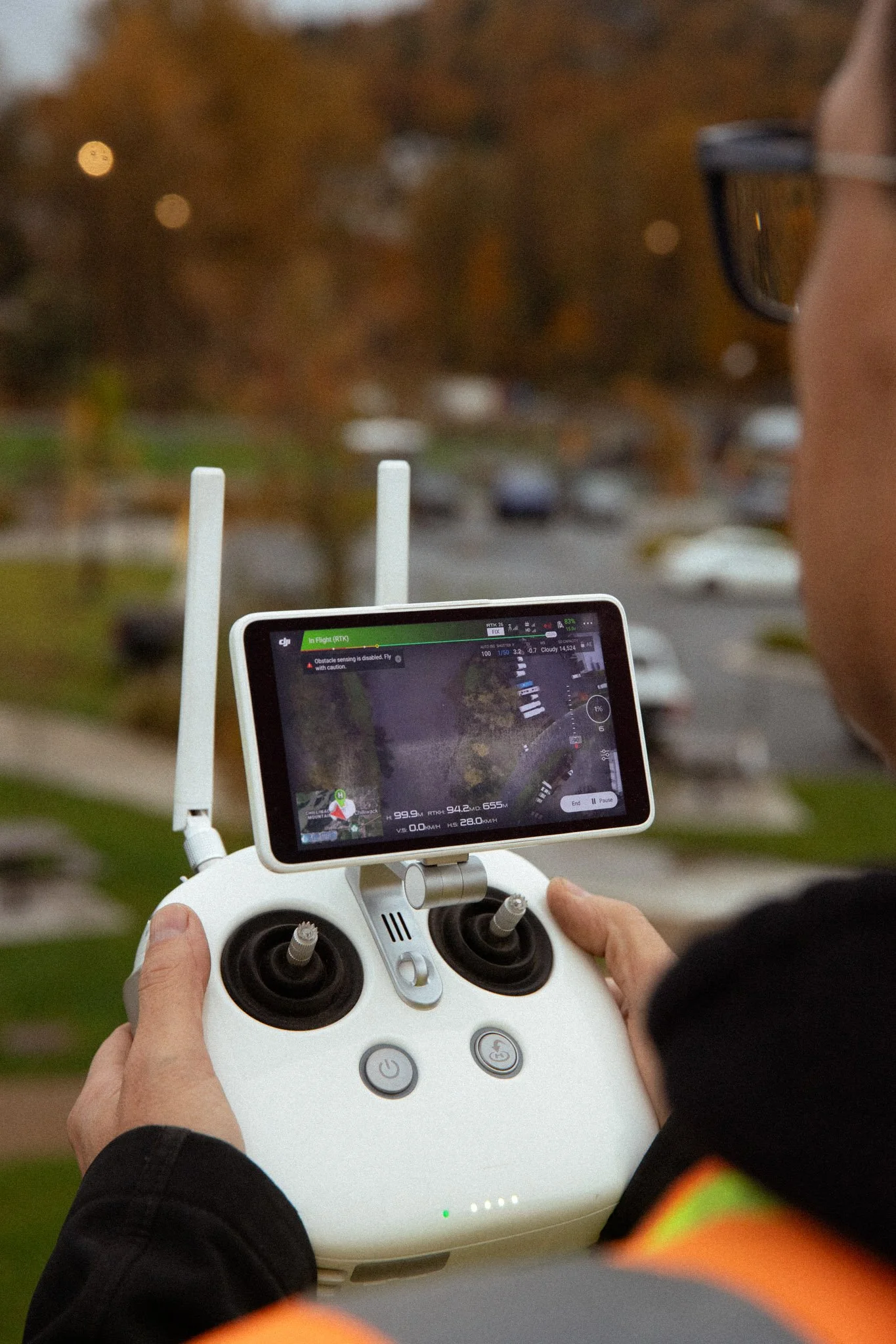
Using RTK and NTRIP technology, we achieve centimeter-level accuracy for your survey data. Ground Control Points can be permanently installed to streamline future mapping. We work seamlessly with your GIS team, delivering imagery in multiple formats including Rasta, JPEG, and KML.
Our Clients
Get in Touch
Tell us a bit about your project, and we’ll respond with a tailored quote or follow-up questions to make sure we understand your needs.