Who We Are
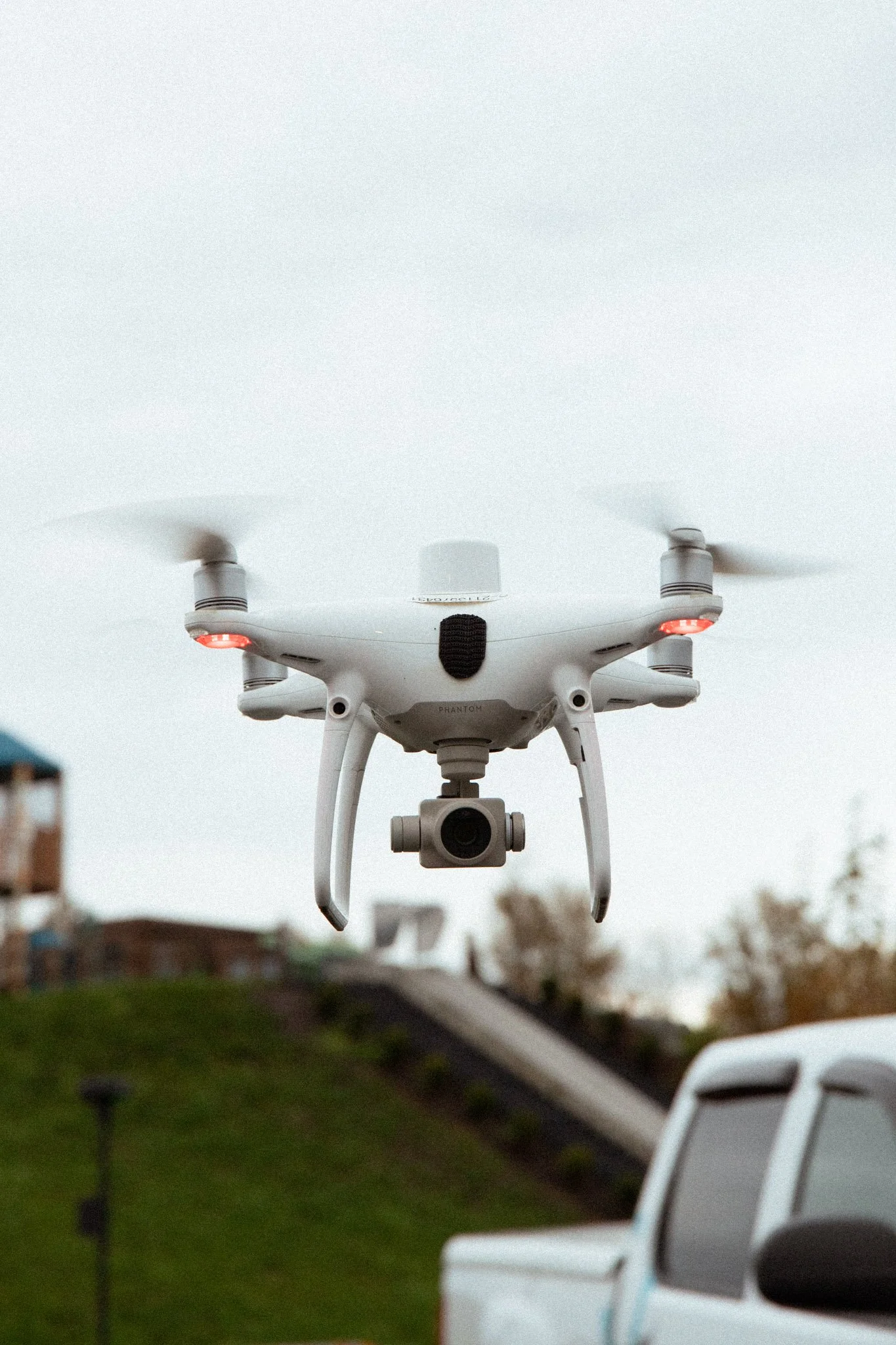
Send In The Drones is a professional drone surveying company based in Abbotsford, BC, specializing in volume calculations, site inspections, and thermal imaging for industrial, construction, and environmental applications. We deliver fast, accurate, and data-rich aerial insights — without interrupting your daily operations.
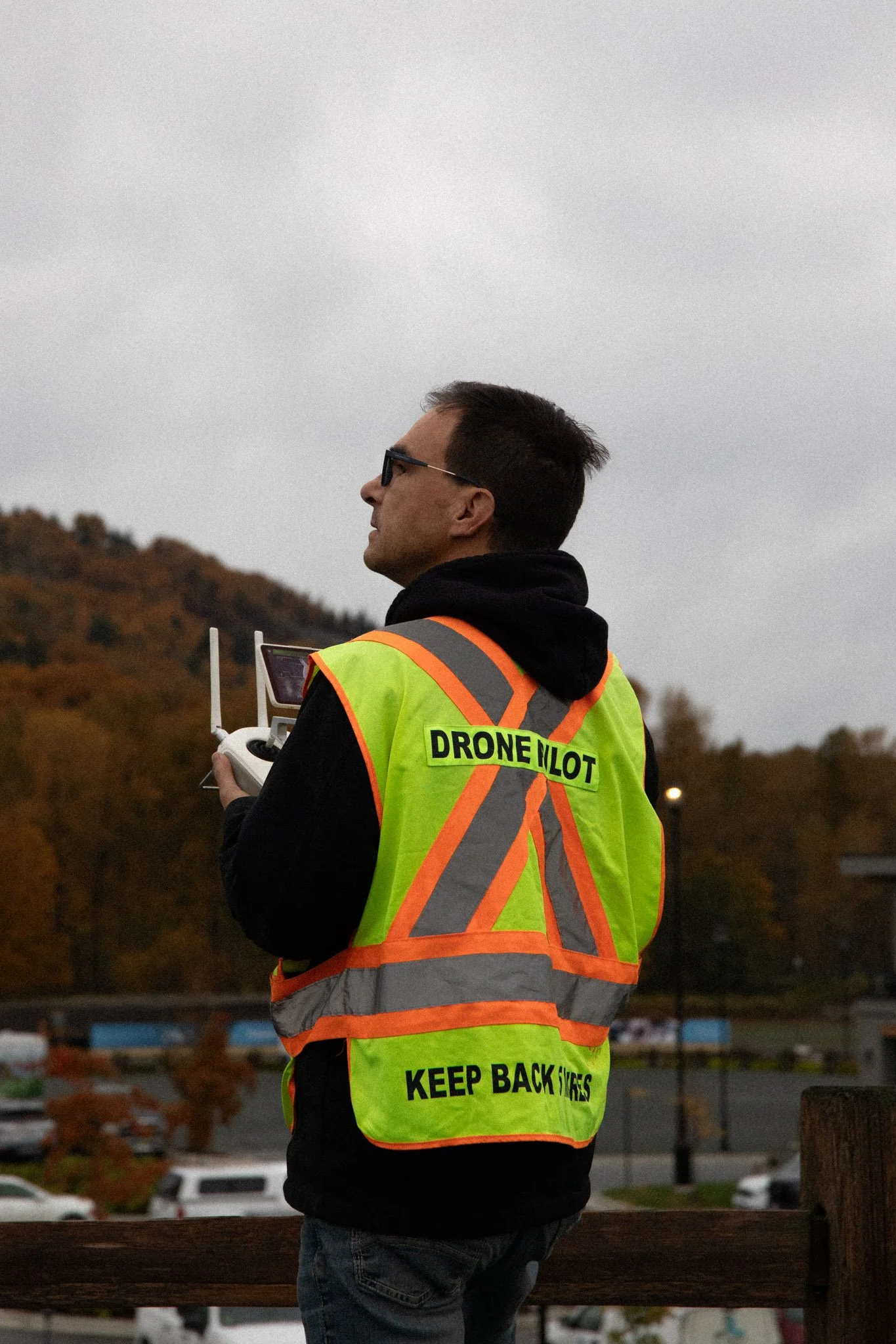
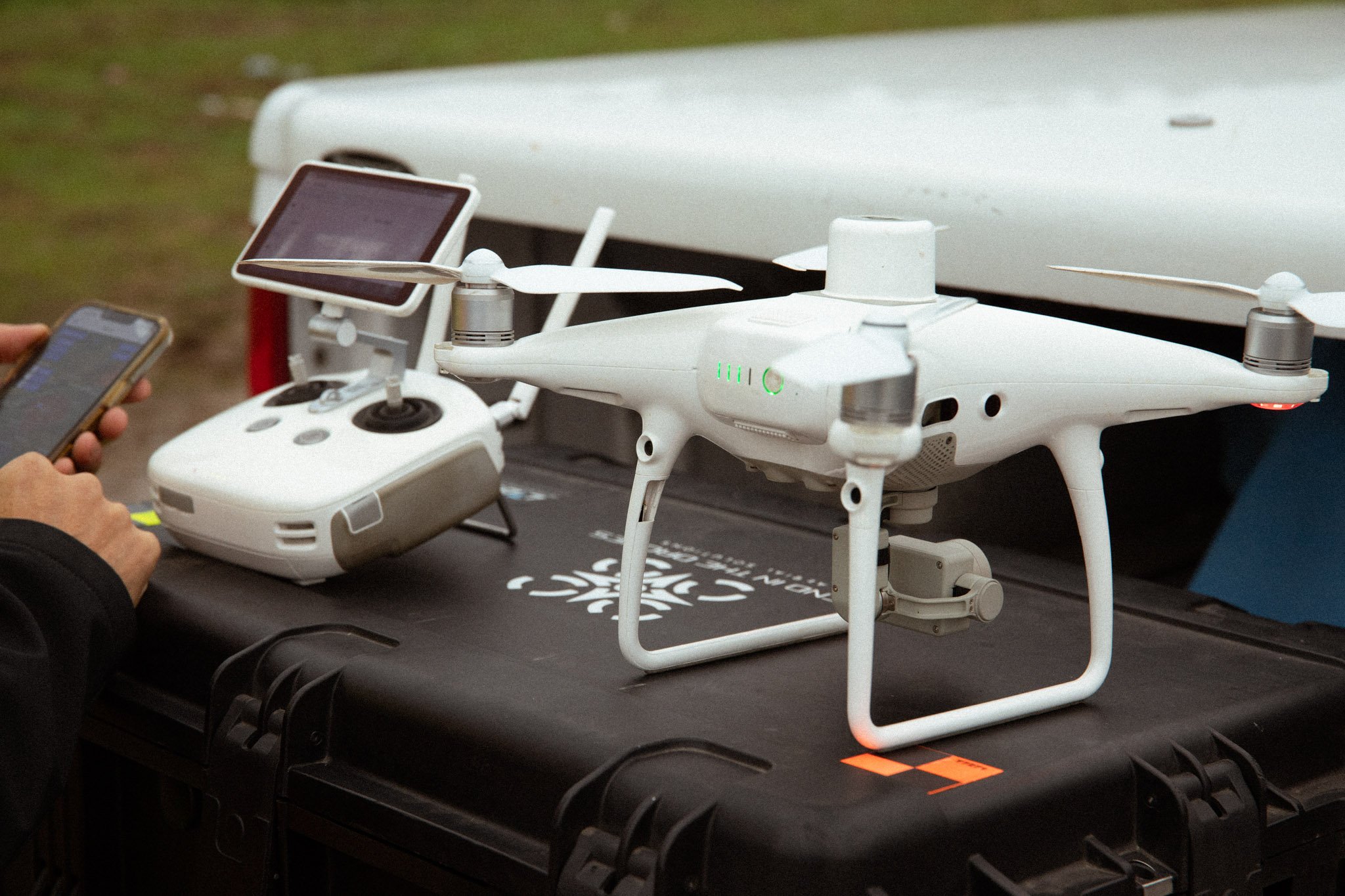
Founded and operated by Stefan Tam, a Transport Canada–certified Advanced Drone Pilot, we combine technical expertise with a hands-on approach. Our team works closely with engineers, project managers, and GIS professionals to provide the precise data your operation depends on.
Our Approach
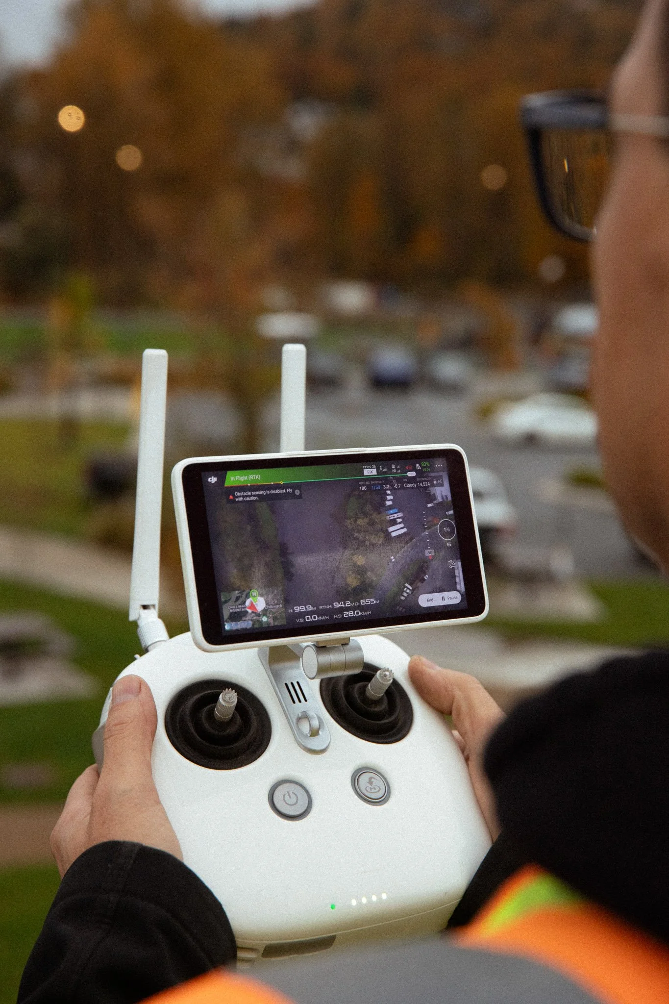
We believe the best drone data is both accurate and accessible. That’s why we focus on delivering clear, usable results that integrate directly into your workflow. From permanent Ground Control Points to centimeter-level accuracy using RTK/NTRIP systems, our process is built around efficiency and repeatability — giving you the data you need, when you need it.
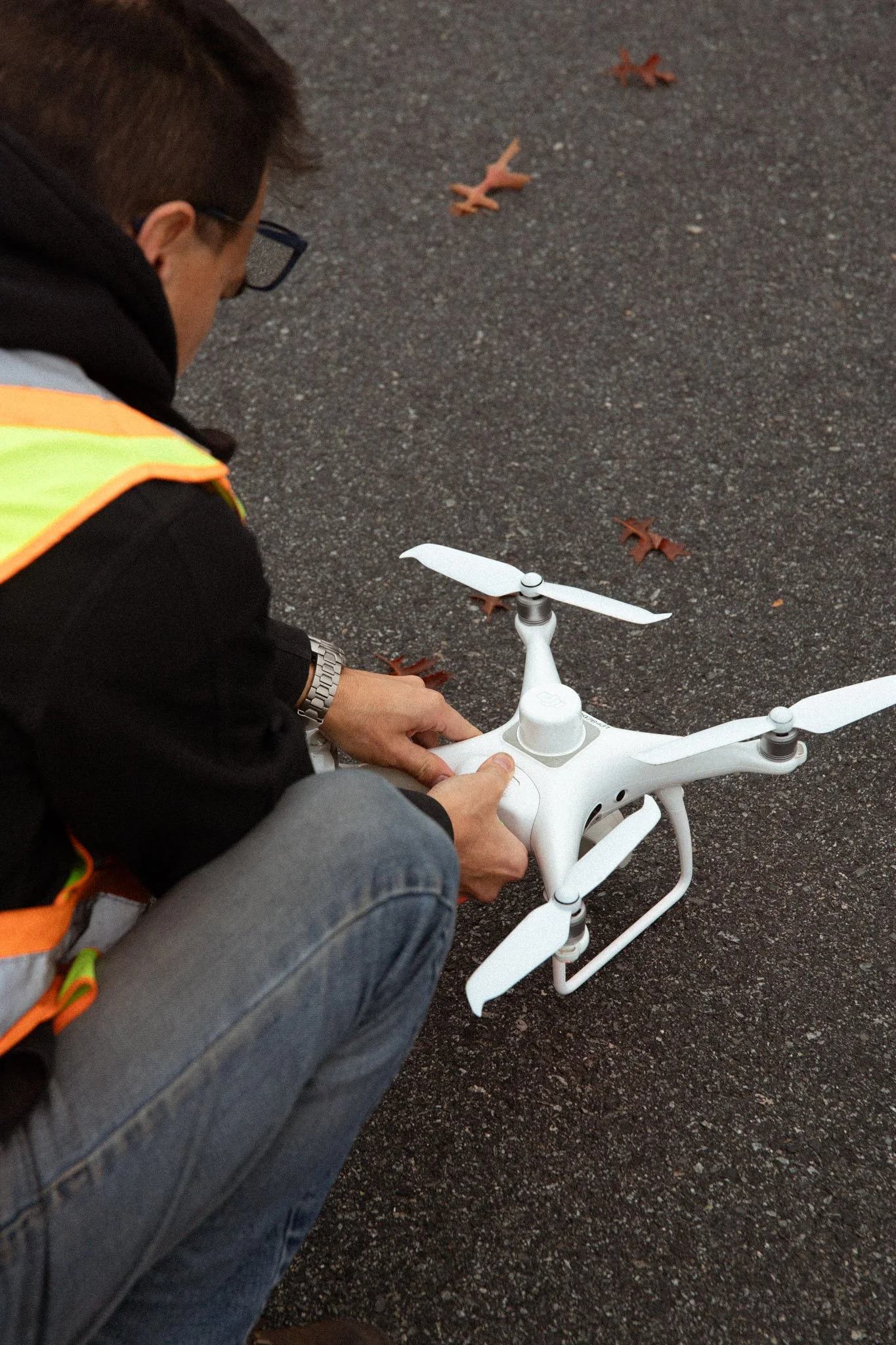
Every flight is conducted safely, legally, and with full respect for airspace and environmental regulations. Whether it’s a 10-acre inspection or a 100-acre stockpile survey, we complete every mission with precision and reliability.
Why Choose Send In The Drones?
-

Certified Advanced Drone Pilot
Fully compliant with Transport Canada regulations
-

Industrial-Grade Accuracy
RTK, NTRIP, and GCP integration for centimeter precision
-

Fast Turnaround
100 acres in under 40 minutes, with rapid data delivery
-

Proven Reliability
Trusted by developers, surveyors, and construction teams across BC
Our Clients

Ready to Partner with Us?
We help companies across BC make better decisions with accurate, on-demand aerial data. Let’s discuss your next project — and see how our drone expertise can save you time and money.